This research is a persuit in defining the meaning of an architectural ‘place’ and to analyse the impact of sensor driven technologies on its evolution. Being an architect and having a skill set of studying and analysing an architectural configuration, I created a matrix of methods to conduct this study. To create the matrix I borrowed methods from four disciplines which I had worked with. These deciplines are architecture, urban design, urban planning and anthropology. The goal was to define the ‘place’ from their perspective.
I started the feildwork in Jnauary 2016. I selected a market square in a three hundred year old town where my father’s last five generations have grown up. It gave me an easy access to the community and hence the larger data is in the narrative ethnography. I conducted about six community workshops and thirty nine narrative interviews. The interviews are semi structured where they reveal geneology, life histories, trade patterns, property ownership and events. This data carries an inseperable reference to the physicality and hence helps in analysing the notion of ‘place’.
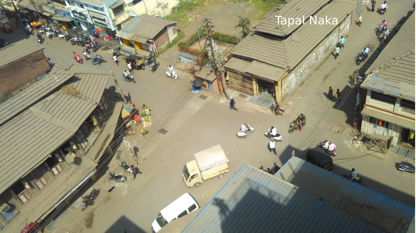
Tapal Naka as a ‘place’:
Community workshops:
Narrative interviews:
I have extensively used GIS to analyse the data. I am in the process of making the maps which will reveal the data visualy. I have done photogrammetry of the main street to create a georeferenced mesh model which can be used in multiple ways. Apart from these two major contributions I am in the process of writing my monograph as my final manuscript for the doctoral defense.
GIS maps in the process:
Photogrammetry in the process using Blender motion tracking:


